Damage Assessment in Conflict Environments

Khartoum, Sudan | 2023 to 2025

GIS for Post Conflict and Disaster Recovery Planning

Leveraging geospatial intelligence for comprehensive post-crisis response and rebuilding efforts.

A transparent, open-source analysis of the impact of armed conflicts on buildings in Khartoum, Sudan — from establishing a pre-conflict baseline to leading reconstruction efforts with confidence.

Section 1 · Pre-conflict

Establishing the Baseline

Knowing what was at stake

Before you can calculate loss, you must understand the value of what existed. Reconstruction doesn't start when the dust settles; it starts with understanding the community as it was. We begin by creating a digital inventory of the area, using open building footprint datasets and satellite imagery — mapping schools, hospitals, power plants, and any critical infrastructure identified by the community. This catalog serves as the foundation for every decision that follows.

Scale
256,123
Buildings analysed
Critical
4,687
Critical infrastructures identified

Partnerships

Collaborating with academics and partners ensures reliable data and knowledge exchange on the most appropriate analysis processes.

  • Humanitarian OpenStreetMap Team
  • Yale University
  • Oregon State University
  • Kent State University
  • UNMAS

Critical buildings identified

Before conflict strikes, we rely on open-source data to understand what's at risk. Using building footprints and open-source data, we can classify critical infrastructure.

Section 2a · Post-conflict

Post-conflict: Assessing the damage

Eyes on the Ground, from Above

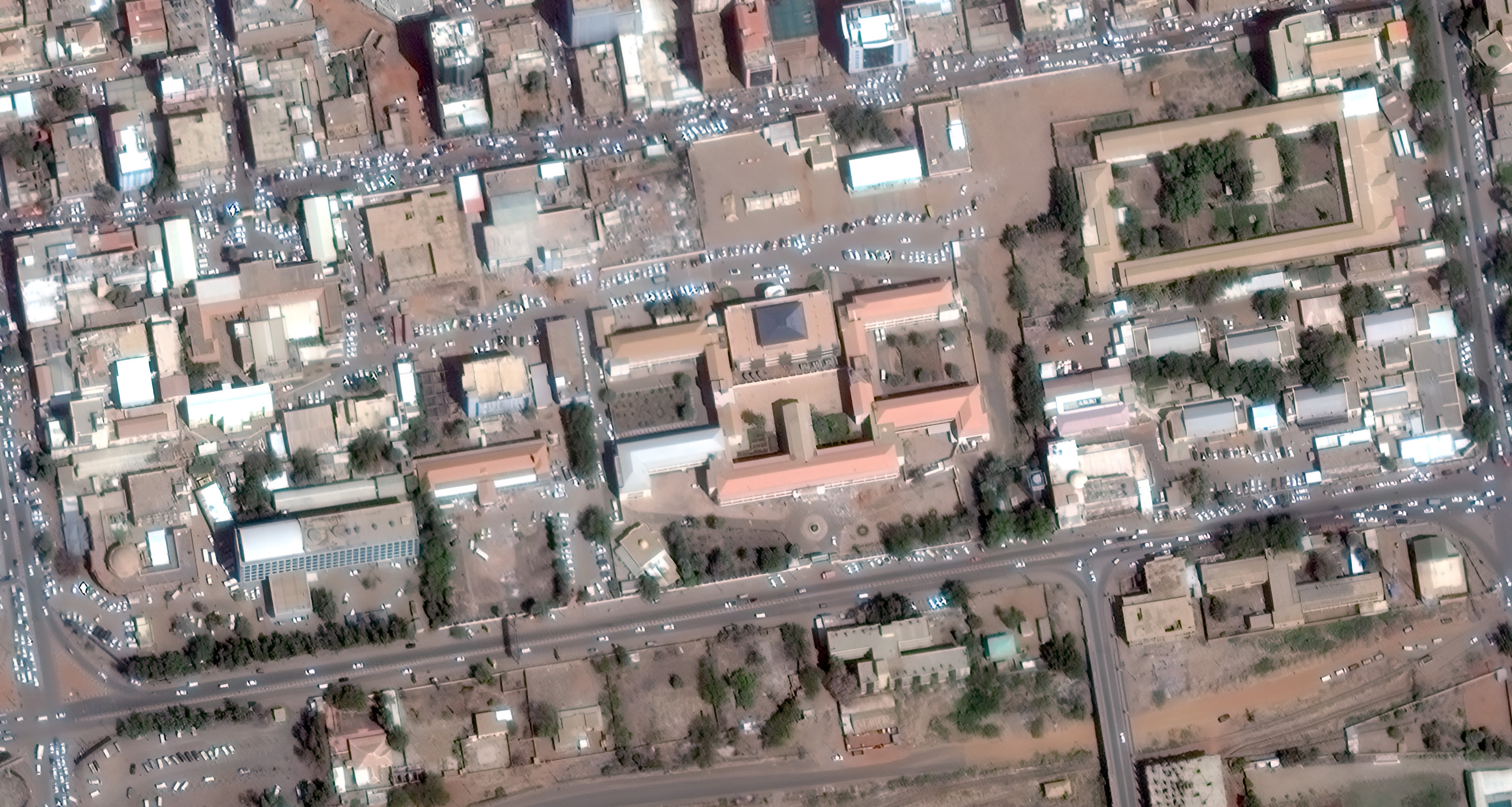
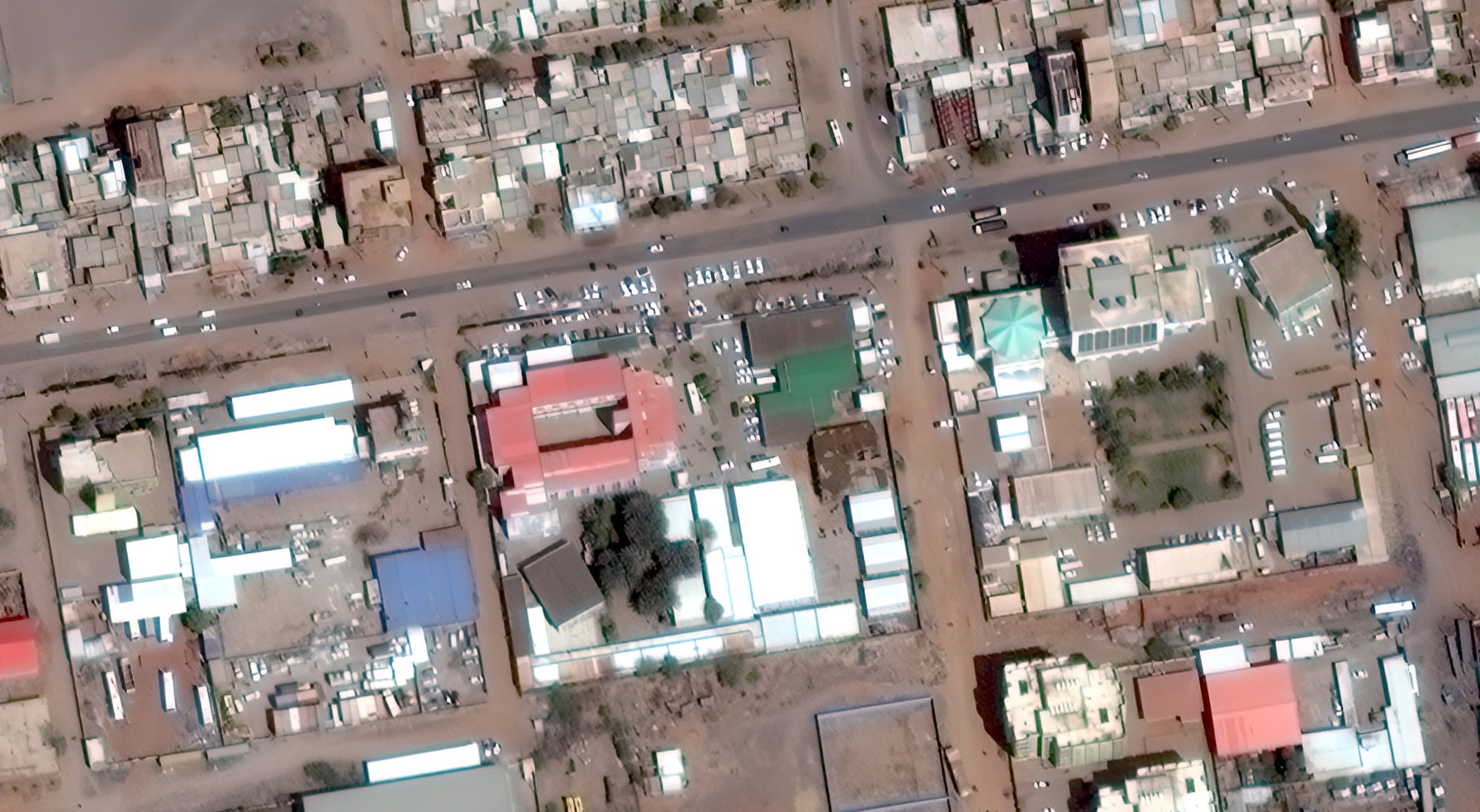
Sending teams on-the-ground to collect data about damaged infrastructures can be challenging, especially in large areas such as urban environments. With remote sensing data, we provide a 'watchtower' view, tracking damages remotely. Using the power of AI, we can help assess what changed, where and to what extent. Here are concrete examples of visible damages to critical infrastructures identified through geospatial intelligence.

Satellite imagery of hospital
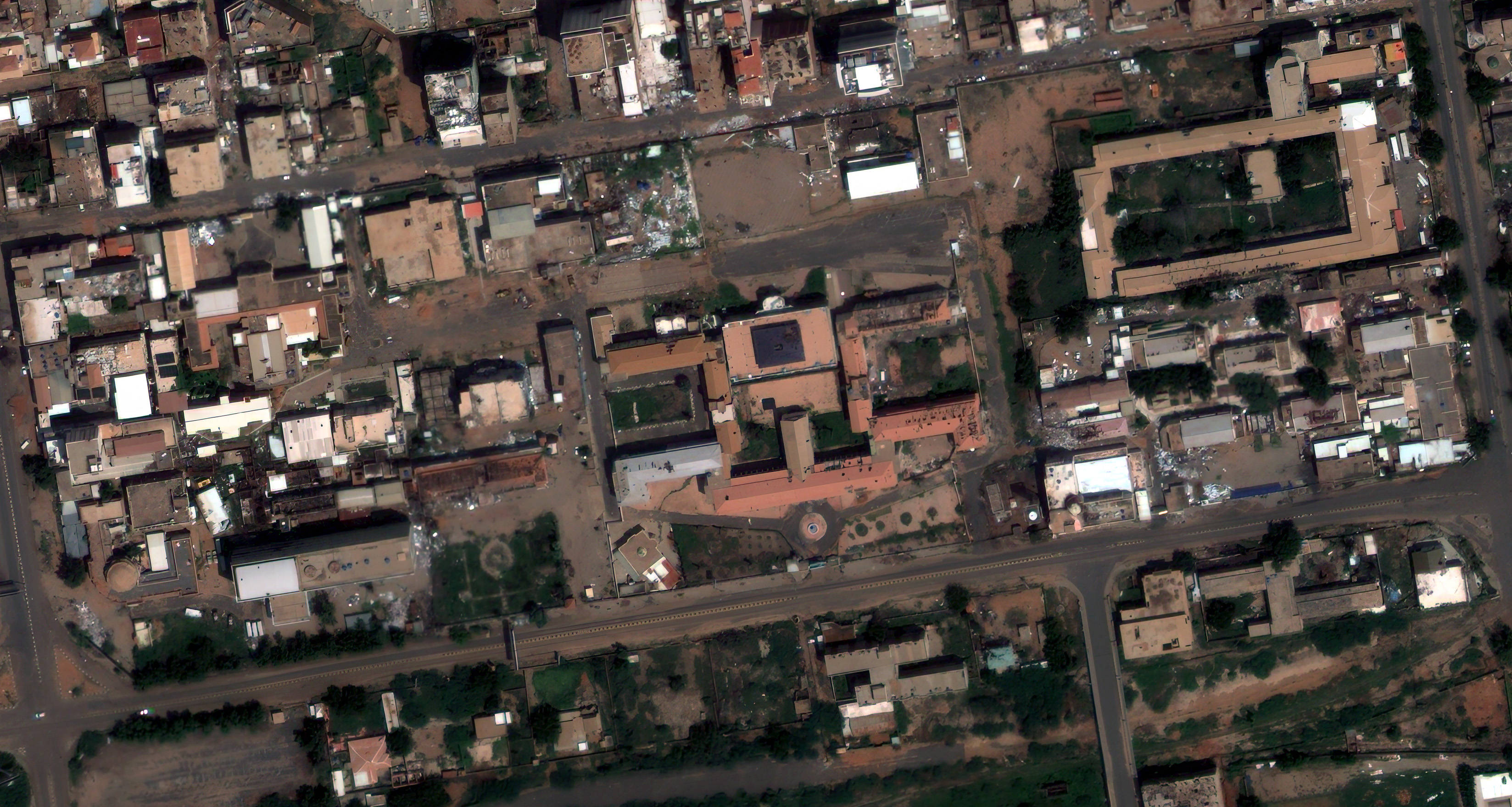
Satellite imagery comparison
2023
2025

Satellite imagery of school
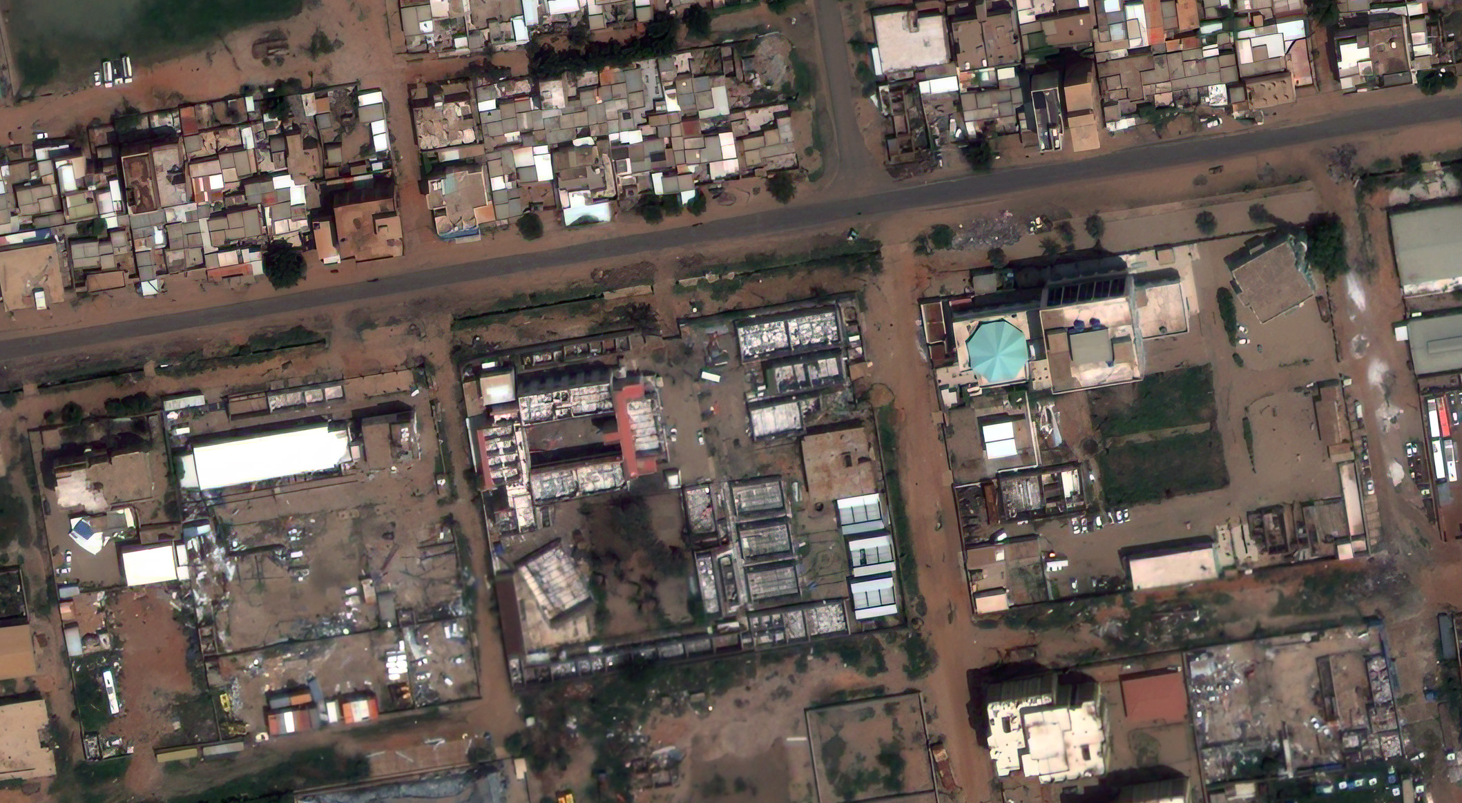
Satellite imagery comparison
2023
2025

Section 2b · Post-conflict

Post-conflict: Recovery Planning

Counting the cost and planning the future

By visualizing critical damaged infrastructures, prioritization and recovery of essential services become possible. In Khartoum, out of the 4687 critical infrastructures identified, 389 were identified as damaged through remote analysis. AI-assisted analysis helps focus the attention and facilitates the identification of urgent reconstruction needs. Teams can then go on the ground to confirm the damages and provide expert recommendations for interventions.

Critical
389
infrastructure damaged

Damaged buildings by category

Switch phase to load a different story in the map.